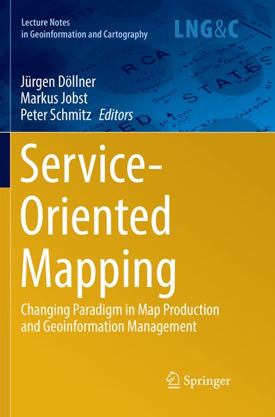
Service-Oriented Mapping Changing Paradigm in Map Production and Geoinformation Management
-
- Hardcover
- Taschenbuch ausgewählt
- eBook
-
Sprache:Englisch
112,99 €
inkl. gesetzl. MwSt.,
Beschreibung
Produktdetails
Einband
Taschenbuch
Erscheinungsdatum
04.01.2019
Abbildungen
XXX, 434 p.
Herausgeber
Jürgen Döllner + weitereVerlag
SpringerSeitenzahl
434
Maße (L/B/H)
23,5/15,5/2,5 cm
Gewicht
698 g
Auflage
Softcover reprint of the original 1st ed. 2019
Sprache
Englisch
ISBN
978-3-030-10199-2
This book gathers various perspectives on modern map production. Its primary focus is on the new paradigm of “sharing and reuse,” which is based on decentralized, service-oriented access to spatial data sources.
Service-Oriented Mapping is one of the main paradigms used to embed big data and distributed sources in modern map production, without the need to own the sources. To be stable and reliable, this architecture requires specific frameworks, tools and procedures. In addition to the technological structures, organizational aspects and geographic information system (GIS) capabilities provide powerful tools to make modern geoinformation management successful.
Addressing a range of aspects, including the implementation of the semantic web in geoinformatics, using big data for geospatial visualization, standardization initiatives, and the European spatial data infrastructure, the book offers a comprehensive introduction to decentralized map production.
.Ein neues Kapitel für Ihre Bücher
Ein neues Kapitel für Ihre Bücher
Schenken Sie Ihren alten Schätzen ein zweites Leben und erhalten dafür eine Thalia Geschenkkarte.
Noch keine Bewertungen vorhanden
Verfassen Sie die erste Bewertung zu diesem Artikel
Helfen Sie anderen Kundinnen und Kunden durch Ihre Meinung.
Kurze Frage zu unserer Seite
Vielen Dank für Ihr Feedback
Wir nutzen Ihr Feedback, um unsere Produktseiten zu verbessern. Bitte haben Sie Verständnis, dass wir Ihnen keine Rückmeldung geben können. Falls Sie Kontakt mit uns aufnehmen möchten, können Sie sich aber gerne an unseren Kund*innenservice wenden.
zum Kundenservice