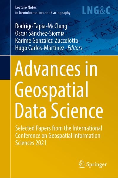
• Produktbild: Advances in Geospatial Data Science
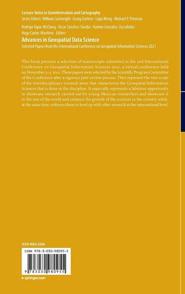
  • Produktbild: Advances in Geospatial Data Science
- 12%

Advances in Geospatial Data Science Selected Papers from the International Conference on Geospatial Information Sciences 2021

12% sparen

121,99 € UVP 139,09 €

inkl. gesetzl. MwSt., Versandkostenfrei


Beschreibung

Produktdetails

Einband

Gebundene Ausgabe

Erscheinungsdatum

18.05.2022

Abbildungen

XIV, 205 p. 67 illus., 61 illus. in color.

Herausgeber

Rodrigo Tapia-McClung + weitere

Verlag

Springer

Seitenzahl

205

Maße (L/B/H)

24,1/16/1,8 cm

Gewicht

500 g

Auflage

22001 Auflage 1st edition 2022

Sprache

Englisch

ISBN

978-3-030-98095-5

Beschreibung

Portrait


Rodrigo Tapia McClung
holds a Physics degree from the National Autonomous University in Mexico, a masters degree in Environmental Sciences from Wilfrid Laurier University, and a Ph.D. in Geospatial Information Sciences from the Research Center in Geospatial Information Sciences, Mexico.

His research has focused on geovisual analytics, geoweb, and participative cartography along with citizen science and participation and looking into ways to visualize spatial and temporal data and being able to properly and timely convey meaning to different types of users.

He has organized international workshops for the International Conference on Computational Science and its Applications (ICCSA) and reviewed several papers and years for their publication in Lecture Notes in Computer Science. He had also published in these proceedings. He has also published a couple of chapters in other books edited by Springer.

Currently, he serves as Graduate Program Coordinator for thespecialization graduate program at my home institution and Guest Editor for MDPIs remote sensing special issue “Advances in Remote Sensing and Geographic Information Science and Their Uses in Geointelligence.”

Oscar S. Siordia
has been a head researcher at the National Geointelligence Laboratory (GeoINT) of the  Center for Research in Geospatial Information Sciences (CentroGeo) since 2014. He obtained his PhD in Information Technologies and Information Systems from the Universidad Rey Juan Carlos (URJC, Spain, 2013) and his Masters in Computer Science from Centro Nacional de Investigación y Desarrollo Tecnológico (CENIDET, Mexico, 2009). He has been a member of the National Researchers System since 2015 and his research is related to the application of novelty techniques for data analysis (data science) for the design and construction of expert systems.


Karime González-Zuccolotto
is a biologist with a Masters degree in GeospatialInformation Sciences from CentroGeo. She has worked as a technician in Geographic Information Systems at the Institute of Geophysics of the National Autonomous University of Mexico and for the International Atomic Energy Agency (IAEA) in the areas of risk management, hydrogeology, and volcanology where she collaborated in the development of monitoring systems of groundwater as well as the preparation of hazard maps for the Popocatépetl and Ceboruco volcanoes. She has worked as a data analyst in different areas of CentroGeo and GeoInt, and currently coordinates the Data Laboratory GeoInt-DataLab activities.


Hugo Carlos-Martínez
obtained the degrees of Doctor of Science and Master of Science in Computer Science from the Center for Research in Mathematics A.C.


He has experience in researching and developing industrial applications in the public and private sectors. His research has focused on developing control algorithms,computer vision, and robotics. In particular, the lines of research have been oriented to optimal control algorithms for motion planning problems, computational vision algorithms for images with different dynamic ranges, image reconstruction algorithms, and visual inspection applications.


He currently works as a CONACyT Researcher at CentroGeo, developing remote sensing and 3D reconstruction applications.


Produktdetails

Einband

Gebundene Ausgabe

Erscheinungsdatum

18.05.2022

Abbildungen

XIV, 205 p. 67 illus., 61 illus. in color.

Herausgeber

Verlag

Springer

Seitenzahl

205

Maße (L/B/H)

24,1/16/1,8 cm

Gewicht

500 g

Auflage

22001 Auflage 1st edition 2022

Sprache

Englisch

ISBN

978-3-030-98095-5

Herstelleradresse

Springer-Verlag KG
Sachsenplatz 4-6
1201 Wien
AT

Email: ProductSafety@springernature.com

Ein neues Kapitel für Ihre Bücher

Ein neues Kapitel für Ihre Bücher

Schenken Sie Ihren alten Schätzen ein zweites Leben und erhalten dafür eine Thalia Geschenkkarte.

Jetzt verkaufen
Jetzt verkaufen

Noch keine Bewertungen vorhanden

Verfassen Sie die erste Bewertung zu diesem Artikel

Helfen Sie anderen Kundinnen und Kunden durch Ihre Meinung.

Kundinnen und Kunden meinen

Bewertungen (0)

  • Produktbild: Advances in Geospatial Data Science
  • Produktbild: Advances in Geospatial Data Science
  • Assessment on the Distribution and Accessibility to Green Spaces in Mexico’s Most Populated Metropolitan Zones.- Geomatics Assessment of Water Resources in a Transboundary Basin.- Geospatial Analysis of Clandestine Graves in Baja California: New Approaches for the Search of Missing Persons in Mexico.- The Geopolitical Repercussions of the Migration Rhetoric of Donald Trump on Mexican Anti-immigrant Speech Online: A Transdisciplinary Approach.- Spatial Analysis of a Forest Socio-Ecological System in Oaxaca, Mexico Based on the DPSIR Framework.- Fourier Transform Based Methods for Unwrapping of Sentinel-1 Interferograms.- Methodology and Relevant Results About an Area-Based Conservation Indicator of Superficial Water Bodies for the Grijalva Basin.- Social Vulnerability Analysis of Three High Mountain Villages at Pico de Orizaba Volcano, Mexico, Using PCA.- Detection of Phoradendron velutinum Implementing Genetic Programming in Multispectral Aerial Images in Mexico City.- Assessment of the Reduction of the Icesnow Coverage at the TransMexican Volcanic Belt Through Empirical Mode Decomposition on Satellite Imagery.- Forest Degradation Estimation Through Trend Analysis of Annual Time Series NDVI, NDM and NDFI (2010-2020) using Landsat images.- Estimating Importation Risk of COVID-19 in Hurricane Evacuations: A Prediction Framework Applied to Hurricane Laura in Texas.- A Dynamic Social Vulnerability Index to COVID-19 in Mexico.- Effects of COVID-19 in Mexico City: Street Robbery and Vehicle Theft Spatio-Temporal Patterns