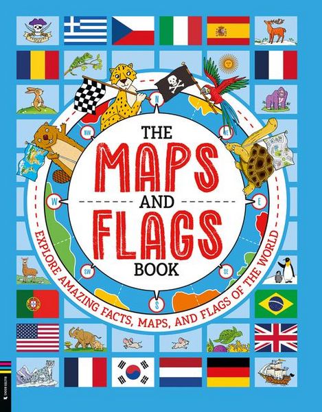
The Maps and Flags Book Explore Amazing Facts, Maps, and Flags of the World
19,99 €
inkl. gesetzl. MwSt.,
Beschreibung
Produktdetails
ISBN
978-1-83725-096-7
Erscheinungsdatum
02.09.2025
Bundesländer
Baden-Württemberg + weitere
Unterrichtsfächer
Geographie
Klassenstufen
1. Klasse + weitere
Schulformen
Grundschule
Einband
Gebundene Ausgabe
Illustriert von
Andy Rowland
Verlag
Ingram Pub ServicesSeitenzahl
96
Maße (L/B/H)
27,9/21,8/1,3 cm
Gewicht
680 g
Sprache
Englisch
This engaging book introduces kids to maps and flags worldwide. It includes a detailed introduction explaining how maps are made, how countries are defined, and some useful information about flags.
Organized by continent, the book covers every country in the world, presenting its flag and key statistics like population, capital city, and area, alongside fascinating facts explaining each flag's meaning and symbolism. Fun, quirky maps on topics such as national animals, famous explorers' routes, pirate maps, and time zones are included to make the experience lively and educational.
Packed with interesting facts, it's the perfect introduction to maps and flags for young learners.
Dazu passende Produkte
-
Pelikan Wachsmalstifte wasserfest dick dreieckig, 8er Set von
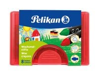 Pelikan Wachsmalstifte wasserfest dick dreieckig, 8er Set
Bürobedarf
5,59 €
-
Monster High: Mein Freundebuch von
 Monster High: Mein Freundebuch
Bürobedarf
8,99 €
-
Faber-Castell Farbkasten Connector 12 Farben Dino von
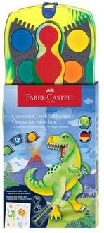 Faber-Castell Farbkasten Connector 12 Farben Dino
Bürobedarf
11,89 €
-
Mein erster Schultag - Feen von
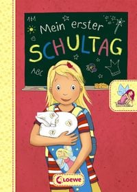 Mein erster Schultag - Feen
Bürobedarf
7,95 €
-
Turnbeutel "Graffiti" von
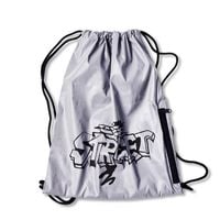 Turnbeutel "Graffiti"
Bürobedarf
16,99 €
-
Trötsch Wassermalspaß mit Zauberstift Weihnachten von
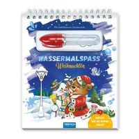 Trötsch Wassermalspaß mit Zauberstift Weihnachten
Bürobedarf
7,99 €
-
Brunnen Schulheft A5 Vivendi Lin 7 16Bl von
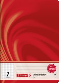 Brunnen Schulheft A5 Vivendi Lin 7 16Bl
Bürobedarf
3,99 €
-
Freundebuch - Meine Kindergartenfreunde - Design 3 - rosa Cover von
 Freundebuch - Meine Kindergartenfreunde - Design 3 - rosa Cover
Bürobedarf
9,99 €
-
Hurra, ich bin ein Schulkind! 2026 von
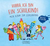 Hurra, ich bin ein Schulkind! 2026
Bürobedarf
12,00 €
-
Trinkflasche Sternenglanz von
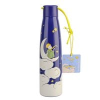 Trinkflasche Sternenglanz
24,99 €
Noch keine Bewertungen vorhanden
Verfassen Sie die erste Bewertung zu diesem Artikel
Helfen Sie anderen Kundinnen und Kunden durch Ihre Meinung.
Kurze Frage zu unserer Seite
Vielen Dank für Ihr Feedback
Wir nutzen Ihr Feedback, um unsere Produktseiten zu verbessern. Bitte haben Sie Verständnis, dass wir Ihnen keine Rückmeldung geben können. Falls Sie Kontakt mit uns aufnehmen möchten, können Sie sich aber gerne an unseren Kund*innenservice wenden.
zum Kundenservice