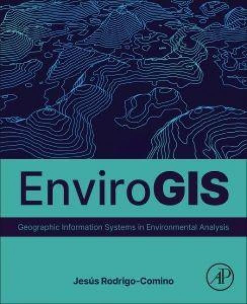
EnviroGIS Geographic Information Systems in Environmental Analysis
-
- Englisch ausgewählt
119,99 €
inkl. gesetzl. MwSt.,
Beschreibung
Produktdetails
Einband
Taschenbuch
Erscheinungsdatum
07.09.2026
Herausgeber
Editors of Studio Fun International + weitereVerlag
ElsevierSeitenzahl
350
Maße (L/B)
23,5/19,1 cm
Gewicht
450 g
Sprache
Englisch
ISBN
978-0-443-31580-0
EnviroGIS: Geographic Information Systems in Environmental Analysis is a comprehensive and timely textbook that provides a foundation for those considering further research in GIS, environmental sciences, or geosciences. It offers a thorough understanding of how to initiate a GIS course in Geosciences, introducing the importance of GIS by taking a step-by-step approach for delineating the study area. This book provides diverse ideas, data, and practical examples for both replication and reference to students, scientists, and lecturers engaging with GIS and environmental science, particularly areas focused on Earth Surface Processes using tools like ArcGIS Pro, QGIS, Terrset/Idrissi, Google Earth Engine, R, and Pix4D.
In the first part, the textbook delineates the importance of GIS. Moving on, in the second part it focuses on the most relevant topics in environmental analysis. It outlines the preparation of seminars related to changing scales, soil, plant, and catchment dynamic processes, such as erosion and interpolations. Covering topics such as data mining, and connectivity processes, EnviroGIS highlights the way in which Artificial Intelligence enables the creation of accurate forecasts of challenging-to-predict Earth surface processes. Additionally, the biosphere is delved into to show how GIS courses assess fauna and vegetation within natural or human ecosystems. The final part of the book is centered on specific cases, considering different GIS data formats including shapefiles, multilayer projects, and recent natural hazards or disasters, such as volcanic eruptions or hillslope degradation due to human activities.
Ein neues Kapitel für Ihre Bücher
Ein neues Kapitel für Ihre Bücher
Schenken Sie Ihren alten Schätzen ein zweites Leben und erhalten dafür eine Thalia Geschenkkarte.
Noch keine Bewertungen vorhanden
Verfassen Sie die erste Bewertung zu diesem Artikel
Helfen Sie anderen Kundinnen und Kunden durch Ihre Meinung.
Kurze Frage zu unserer Seite
Vielen Dank für Ihr Feedback
Wir nutzen Ihr Feedback, um unsere Produktseiten zu verbessern. Bitte haben Sie Verständnis, dass wir Ihnen keine Rückmeldung geben können. Falls Sie Kontakt mit uns aufnehmen möchten, können Sie sich aber gerne an unseren Kund*innenservice wenden.
zum Kundenservice