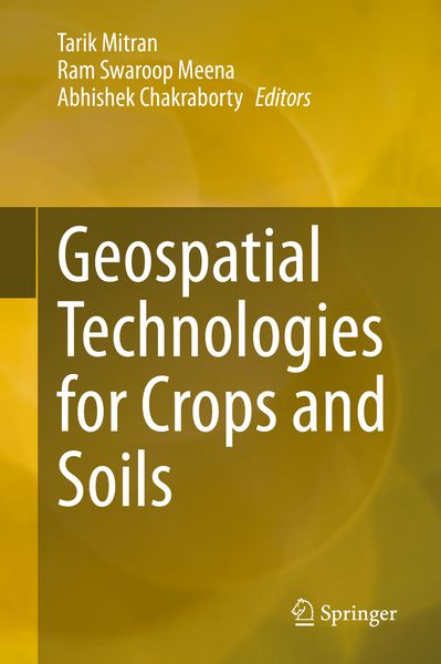
Geospatial Technologies for Crops and Soils
-
- Hardcover ausgewählt
- Taschenbuch
- eBook
-
Sprache:Englisch
206,99 €
UVP
235,39 €
inkl. gesetzl. MwSt.,
Beschreibung
Produktdetails
Einband
Gebundene Ausgabe
Erscheinungsdatum
25.10.2020
Abbildungen
XVI, 521 p. 110 illus., 79 illus. in color.
Herausgeber
Tarik Mitran + weitereVerlag
Springer SingaporeSeitenzahl
521
Maße (L/B/H)
24,1/16/3,3 cm
Gewicht
1015 g
Auflage
1. Auflage
Sprache
Englisch
ISBN
978-981-15-6863-3
The sustainable development of the agriculture sector is the only option to meet the demands of increased and economically viable production in a changing climate. This means there is a need to introduce the latest technologies to enhance production, and also help policymakers make decisions for the future. Geospatial technologies & tools, such as remote sensing, geographical information systems (GIS), global positioning systems (GPS), and mobile & web applications, provide unique capabilities to analyze multi-scale, multi-temporal datasets, and support decision-making in sustainable agriculture development and natural resources management. Further, the availability of reliable and timely geospatial information on natural resources and environmental conditions is essential for sustainable agricultural development and food security. Since remote sensing solutions are fast, non-destructive and have large spatial coverage, they can play a significant role in the identification, inventory, and mapping of land resources. Over the past four decades, remote sensing has proved to be a cost-effective and powerful tool to assess crop and soil properties in varying spatial and temporal scales using both visual and digital techniques. Satellite remote sensing coupled with GIS & mobile-app based positional information has emerged as an efficient tool for optimizing input resources, and minimizing cost of production and risk of biotic/ abiotic factors nature to promote sustainable agriculture. This book comprehensively documents the applications of space-based technologies for crop and soil assessments for the sustainable development of agriculture.
Ein neues Kapitel für Ihre Bücher
Ein neues Kapitel für Ihre Bücher
Schenken Sie Ihren alten Schätzen ein zweites Leben und erhalten Sie dafür eine Thalia Geschenkkarte.
Noch keine Bewertungen vorhanden
Verfassen Sie die erste Bewertung zu diesem Artikel
Helfen Sie anderen Kundinnen und Kunden durch Ihre Meinung.
Kurze Frage zu unserer Seite
Vielen Dank für Ihr Feedback
Wir nutzen Ihr Feedback, um unsere Produktseiten zu verbessern. Bitte haben Sie Verständnis, dass wir Ihnen keine Rückmeldung geben können. Falls Sie Kontakt mit uns aufnehmen möchten, können Sie sich aber gerne an unseren Kund*innenservice wenden.
zum Kundenservice