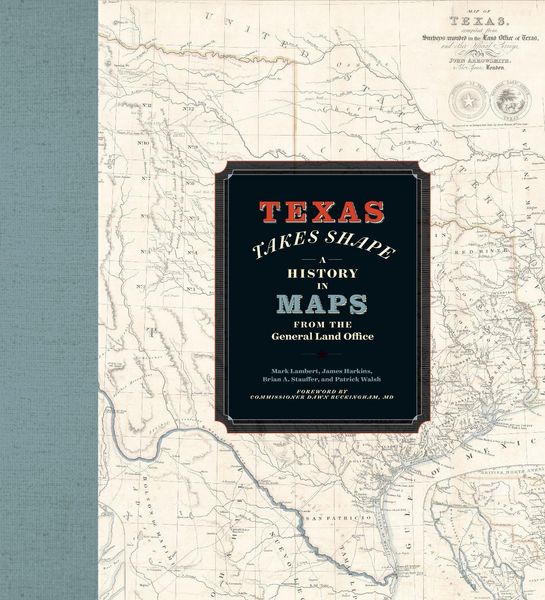
Texas Takes Shape A History in Maps from the General Land Office
-
- Englisch ausgewählt
43,99 €
inkl. gesetzl. MwSt.,
Beschreibung
Produktdetails
Einband
Gebundene Ausgabe
Erscheinungsdatum
01.07.2025
Abbildungen
228 color images
Verlag
University of Texas PressSeitenzahl
360
Maße (L/B/H)
31,2/28,7/3,3 cm
Gewicht
2608 g
Sprache
Englisch
ISBN
978-1-4773-3092-0
A comprehensive volume on historical mapping in Texas.
The Texas General Land Office’s map collection contains over 45,000 maps, some dating from the sixteenth century, making it one of the most important cartographic archives in Texas. As products and agents of history drawn by cartographers with motives and means as diverse as the places they document, maps provide a unique perspective on geopolitical, cultural, and economic processes. The maps of the GLO offer key insights into Texas’s sprawling history. They speak to issues of changing borders, social and political upheaval, and questions of sovereignty and power.
Texas Takes Shape offers an illuminating selection from the GLO archive: over one hundred maps that tell-and sometimes obscure-the stories of European colonization, Spanish and Mexican rule, the Republic of Texas, and the modern US state. There are maps here of every scale, from the hemispheric visions of European explorers to individual survey plats. Accompanying essays offer fascinating lessons on topics ranging from Indigenous cartography to military and railroad mapmaking and frontier surveys. Artful and informative, Texas Takes Shape examines a unique place through the eyes and imaginations of those who sought to govern it, profit from it, understand it, and call it home.
Ein neues Kapitel für Ihre Bücher
Ein neues Kapitel für Ihre Bücher
Schenken Sie Ihren alten Schätzen ein zweites Leben und erhalten Sie dafür eine Thalia Geschenkkarte.
Noch keine Bewertungen vorhanden
Verfassen Sie die erste Bewertung zu diesem Artikel
Helfen Sie anderen Kundinnen und Kunden durch Ihre Meinung.
Kurze Frage zu unserer Seite
Vielen Dank für Ihr Feedback
Wir nutzen Ihr Feedback, um unsere Produktseiten zu verbessern. Bitte haben Sie Verständnis, dass wir Ihnen keine Rückmeldung geben können. Falls Sie Kontakt mit uns aufnehmen möchten, können Sie sich aber gerne an unseren Kund*innenservice wenden.
zum Kundenservice