Beschreibung
Produktdetails
Format
ePUB 3
Kopierschutz
Ja
Family Sharing
Nein
Text-to-Speech
Ja
Erscheinungsdatum
17.04.2026
Herausgeber
Pooja Joshi + weitereVerlag
John Wiley & Sons IncSeitenzahl
415 (Printausgabe)
Dateigröße
39434 KB
Auflage
1. Auflage
Sprache
Englisch
EAN
9781394398942
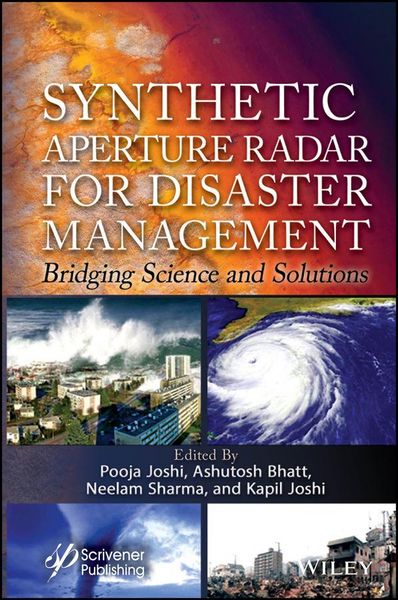
Empower your response to global climate extremes by mastering the transformative power of synthetic aperture radar technology with this essential guide to its role in disaster management.
As humanity navigates the escalating challenges of a rapidly changing world marked by intensifying climate extremes, environmental degradation, and urbanization, the demand to mitigate disasters and protect vulnerable communities has never been more urgent. This book is a critical resource at this pivotal juncture, uniting the frontiers of synthetic aperture radar technology with the pressing demands of disaster resilience. It illustrates how science, engineering, and policy can converge to build a safer, more sustainable future, offering a transformative lens through which to address the complex interplay of global vulnerabilities and technological innovation. Using a holistic exploration of synthetic aperture radar's transformative role in disaster management, the book equips readers to harness this emerging technology for rapid disaster response, infrastructure recovery, and climate resilience.
Readers will find the volume:
- Explores the role of machine learning, deep learning, and multi-sensor data fusion in interpreting SAR data for real-time decision-making;
- Includes real-world case studies that demonstrate the effectiveness of SAR in disaster scenarios, bridging theory with actionable solutions;
- Combines radar technology, computational advancements, and policy frameworks to address the interdisciplinary challenges of disaster management;
- Covers the end-to-end workflow of SAR in disaster contexts, from data acquisition and processing to interpretation and decision-making.
Audience
Designed for professionals, researchers, and students in remote sensing, geoinformatics, earth observation, disaster management, environmental agencies, and geospatial intelligence.
Noch keine Bewertungen vorhanden
Verfassen Sie die erste Bewertung zu diesem Artikel
Helfen Sie anderen Kundinnen und Kunden durch Ihre Meinung.
Kurze Frage zu unserer Seite
Vielen Dank für Ihr Feedback
Wir nutzen Ihr Feedback, um unsere Produktseiten zu verbessern. Bitte haben Sie Verständnis, dass wir Ihnen keine Rückmeldung geben können. Falls Sie Kontakt mit uns aufnehmen möchten, können Sie sich aber gerne an unseren Kund*innenservice wenden.
zum Kundenservice