















































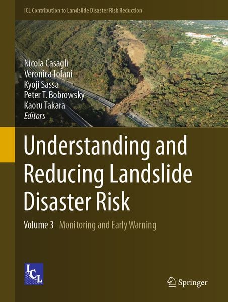
Understanding and Reducing Landslide Disaster Risk Volume 3 Monitoring and Early Warning
-
- Hardcover ausgewählt
- Taschenbuch
- eBook
-
Sprache:Englisch
-
Auflage:20001 Auflage 1st edition 2021
152,99 €
UVP
171,19 €
inkl. gesetzl. MwSt.,
Beschreibung
Produktdetails
Einband
Gebundene Ausgabe
Erscheinungsdatum
22.12.2020
Abbildungen
XXVIII, 361 p. 316 illus., 305 illus. in color.
Herausgeber
Nicola Casagli + weitereVerlag
SpringerSeitenzahl
361
Maße (L/B/H)
28,5/21,5/2,6 cm
Gewicht
1238 g
Auflage
20001 Auflage 1st edition 2021
Sprache
Englisch
ISBN
978-3-030-60310-6
This book is a part of ICL new book series “ICL Contribution to Landslide Disaster Risk Reduction” founded in 2019. Peer-reviewed papers submitted to the Fifth World Landslide Forum were published in six volumes of this book series. This book contains the followings:
• One theme lecture and one keynote lecture• Monitoring and remote sensing for landslide risk mitigation, including one keynote lecture• Landslide early warning systems, forecasting models and time prediction of landslides
Prof. Nicola Casagli is a Vice President and President-elect of the International Consortium on Landslides (ICL) for 2021–2023. He is Professor of engineering geology at the Department of Earth Sciences, University of Florence, and President of the National Institute of Oceanography and Applied Geophysics – OGS, Trieste, Italy.
Dr. Veronica Tofani is an Associate Professor at the Department of Earth Sciences, University of Florence, and Program Coordinator of the UNESCO Chair on Prevention and Sustainable Management of Geo-hydrological hazards, University of Florence.
Prof. Kyoji Sassa is the Founding President and the Secretary-General of the International Consortium on Landslides (ICL). He has been the Editor-in-Chief of International Journal Landslides since its foundation in 2004.
Prof. Peter Bobrowsky is the President of the International Consortium on Landslides. He is a Senior Scientist of Geological Survey of Canada, Ottawa, Canada.
Prof. Kaoru Takara is the Executive Director of the International Consortium on Landslides. He is a Professor and Dean of Graduate School of Advanced Integrated Studies (GSAIS) in Human Survivability (Shishu-Kan), Kyoto University.
Ein neues Kapitel für Ihre Bücher
Ein neues Kapitel für Ihre Bücher
Schenken Sie Ihren alten Schätzen ein zweites Leben und erhalten Sie dafür eine Thalia Geschenkkarte.
Noch keine Bewertungen vorhanden
Verfassen Sie die erste Bewertung zu diesem Artikel
Helfen Sie anderen Kundinnen und Kunden durch Ihre Meinung.
Kurze Frage zu unserer Seite
Vielen Dank für Ihr Feedback
Wir nutzen Ihr Feedback, um unsere Produktseiten zu verbessern. Bitte haben Sie Verständnis, dass wir Ihnen keine Rückmeldung geben können. Falls Sie Kontakt mit uns aufnehmen möchten, können Sie sich aber gerne an unseren Kund*innenservice wenden.
zum Kundenservice