














































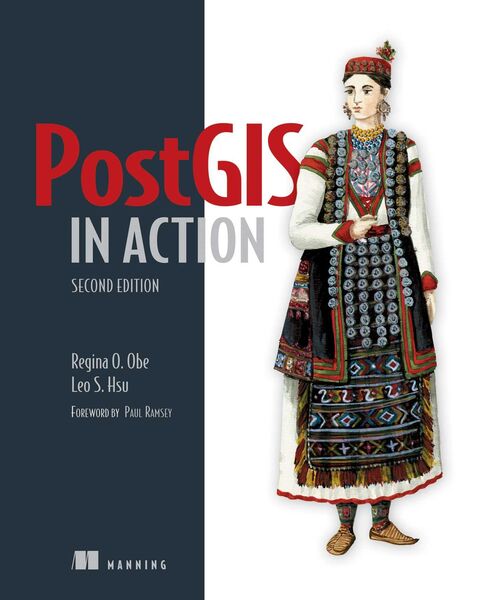
PostGIS in Action, Second Edition
-
- Taschenbuch
- eBook ausgewählt
-
Form:Einzelkauf Download
-
Sprache:Englisch
38,56 €
inkl. gesetzl. MwSt.Beschreibung
Produktdetails
Format
ePUB
Kopierschutz
Ja
Family Sharing
Ja
Text-to-Speech
Ja
Erscheinungsdatum
21.04.2015
Verlag
ManningSeitenzahl
600 (Printausgabe)
Dateigröße
9319 KB
Sprache
Englisch
EAN
9781638353157
Summary
PostGIS in Action, Second Edition teaches readers of all levels to write spatial queries that solve real-world problems. It first gives you a background in vector-, raster-, and topology-based GIS and then quickly moves into analyzing, viewing, and mapping data. This second edition covers PostGIS 2.0 and 2.1 series, PostgreSQL 9.1, 9.2, and 9.3 features, and shows you how to integrate with other GIS tools.
Foreword by Paul Ramsey.
About the Book
Processing data tied to location and topology requires specialized know-how. PostGIS is a free spatial database extender for PostgreSQL, every bit as good as proprietary software. With it, you can easily create location-aware queries in just a few lines of SQL code and build the back end for a mapping, raster analysis, or routing application with minimal effort.
PostGIS in Action, Second Edition teaches you to solve real-world geodata problems. It first gives you a background in vector-, raster-, and topology-based GIS and then quickly moves into analyzing, viewing, and mapping data. You'll learn how to optimize queries for maximum speed, simplify geometries for greater efficiency, and create custom functions for your own applications. You'll also learn how to apply your existing GIS knowledge to PostGIS and integrate with other GIS tools.
Familiarity with relational database and GIS concepts is helpful but not required.
What's Inside
Regina Obe and Leo Hsu are database consultants and authors. Regina is a member of the PostGIS core development team and the Project Steering Committee.
Table of Contents
PART 1 INTRODUCTION TO POSTGIS PART 2 PUTTING POSTGIS TO WORK PART 3 USING POSTGIS WITH OTHER TOOLS
PostGIS in Action, Second Edition teaches readers of all levels to write spatial queries that solve real-world problems. It first gives you a background in vector-, raster-, and topology-based GIS and then quickly moves into analyzing, viewing, and mapping data. This second edition covers PostGIS 2.0 and 2.1 series, PostgreSQL 9.1, 9.2, and 9.3 features, and shows you how to integrate with other GIS tools.
Foreword by Paul Ramsey.
About the Book
Processing data tied to location and topology requires specialized know-how. PostGIS is a free spatial database extender for PostgreSQL, every bit as good as proprietary software. With it, you can easily create location-aware queries in just a few lines of SQL code and build the back end for a mapping, raster analysis, or routing application with minimal effort.
PostGIS in Action, Second Edition teaches you to solve real-world geodata problems. It first gives you a background in vector-, raster-, and topology-based GIS and then quickly moves into analyzing, viewing, and mapping data. You'll learn how to optimize queries for maximum speed, simplify geometries for greater efficiency, and create custom functions for your own applications. You'll also learn how to apply your existing GIS knowledge to PostGIS and integrate with other GIS tools.
Familiarity with relational database and GIS concepts is helpful but not required.
What's Inside
- An introduction to spatial databases
- Geometry, geography, raster, and topology spatial types, functions, and queries
- Applying PostGIS to real-world problems
- Extending PostGIS to web and desktop applications
- Updated for PostGIS 2.x and PostgreSQL 9.x
Regina Obe and Leo Hsu are database consultants and authors. Regina is a member of the PostGIS core development team and the Project Steering Committee.
Table of Contents
- What is a spatial database?
- Spatial data types
- Spatial reference system considerations
- Working with real data
- Using PostGIS on the desktop
- Geometry and geography functions
- Raster functions
- PostGIS TIGER geocoder
- Geometry relationships
- Proximity analysis
- Geometry and geography processing
- Raster processing
- Building and using topologies
- Organizing spatial data
- Query performance tuning
- Extending PostGIS with pgRouting and procedural languages
- Using PostGIS in web applications
PART 1 INTRODUCTION TO POSTGIS PART 2 PUTTING POSTGIS TO WORK PART 3 USING POSTGIS WITH OTHER TOOLS
Noch keine Bewertungen vorhanden
Verfassen Sie die erste Bewertung zu diesem Artikel
Helfen Sie anderen Kundinnen und Kunden durch Ihre Meinung.
Kurze Frage zu unserer Seite
Vielen Dank für Ihr Feedback
Wir nutzen Ihr Feedback, um unsere Produktseiten zu verbessern. Bitte haben Sie Verständnis, dass wir Ihnen keine Rückmeldung geben können. Falls Sie Kontakt mit uns aufnehmen möchten, können Sie sich aber gerne an unseren Kund*innenservice wenden.
zum Kundenservice